Urbex-kaart Tzompantli
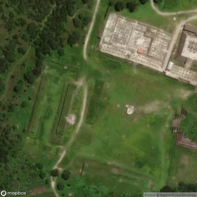
Tzompantli - Coordonnées GPS Urbex
Obtenez la coordonnée GPS exacte de ce lieu abandonné situé dans le département Tula De Allende (Hidalgo, Mexico). Spot urbex vérifié et géolocalisé.
Tula (Otomi: Mämeni) is a Mesoamerican archaeological site, which was an important regional center that reached its height as the capital of the Toltec Empire between the fall of Teotihuacan and the rise of Tenochtitlan. It has not been well studied in comparison to these other two sites, and disputes remain as to its political system, area of influence and its relations with contemporary Mesoamerican cities, especially with Chichen Itza. The site is located in the city of Tula de Allende in the
Paiement unique - accès à vie
100% veilige betaling
SSL-versleutelde verbinding · Geen bankgegevens opgeslagen
Ce qui est inclus
- Coordonnée GPS exacte
- Photo satellite du spot
- Accès immédiat après achat