Tepic
Urbex-kaart The Geometry of Silence
TepicNayaritMexico
Gratis updates voor het leven
The Geometry of Silence - Coordonnées GPS Urbex
Obtenez la coordonnée GPS exacte de ce lieu abandonné situé dans le département Tepic (Nayarit, Mexico). Spot urbex vérifié et géolocalisé.
Tepic (Spanish pronunciation: [teˈpik] ) is the capital and largest city of the western Mexican state of Nayarit, as well as the seat of the Tepic Municipality. Located in the central part of the state, it stands at an altitude of 915 metres (3,002 ft) above sea level, on the banks of the Río Mololoa and the Río Tepic, approximately 225 kilometres (140 mi) north-west of Guadalajara, Jalisco. Nearby are the volcanoes of San Juan, Las Navajas, and Sangangüey.
0,90EUR
Paiement unique - accès à vie
100% veilige betaling
AMEX
Google Pay
stripe
SSL-versleutelde verbinding · Geen bankgegevens opgeslagen
Ce qui est inclus
- Coordonnée GPS exacte
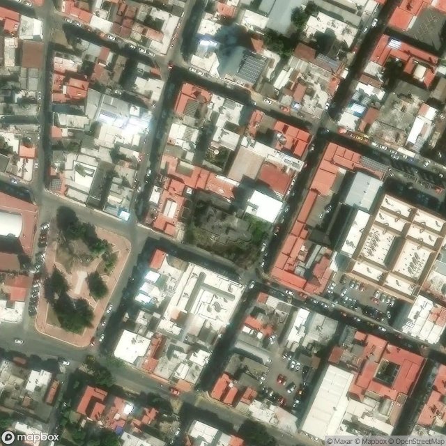
- Photo satellite du spot
- Accès immédiat après achat