Kwai Tsing
Mapa Urbex 青衣 Tsing Yi
Kwai TsingHkChina
Atualizações vitalícias
青衣 Tsing Yi - Coordonnées GPS Urbex
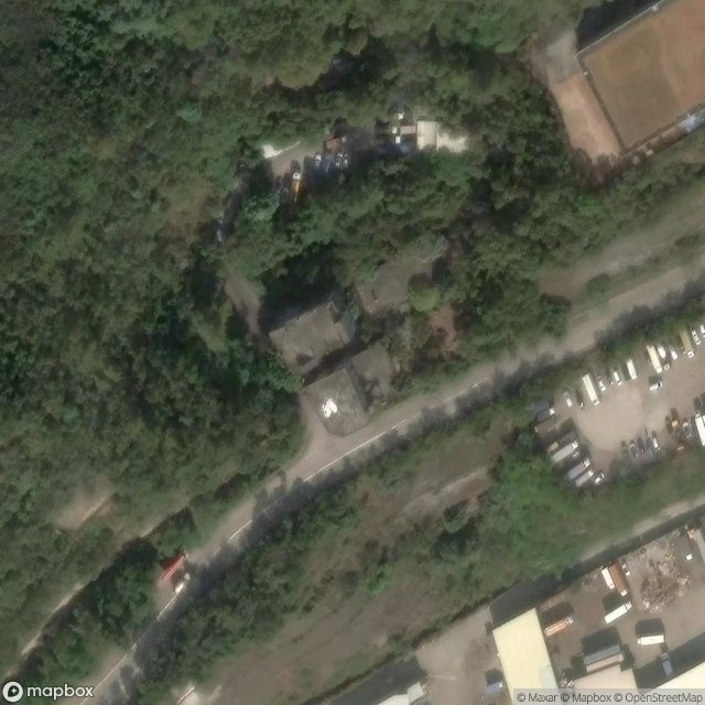
Obtenez la coordonnée GPS exacte de ce lieu abandonné situé dans le département Kwai Tsing (Hk, China). Spot urbex vérifié et géolocalisé.
Chau Tsai (Chinese: 洲仔) was a small island off the southern shore of Nam Wan Kok on Tsing Yi Island, Hong Kong. It was also known as Chun Fa Rock (Chung Hue Rock), or Chung Hue Shik (春花石) in some historical documents. The island was merged with Tsing Yi Island by land reclamation for the construction of the CRC Oil Storage Depot.
0,90EUR
Paiement unique - accès à vie
Pagamento 100% seguro
AMEX
Google Pay
stripe
Conexão SSL criptografada · Sem armazenamento de dados bancários
Ce qui est inclus
- Coordonnée GPS exacte
- Photo satellite du spot
- Accès immédiat après achat