Ardèche
Mapa Urbex Chames, Vallon-Pont-d'Arc
ArdècheAuvergne-Rhône-AlpesFrança
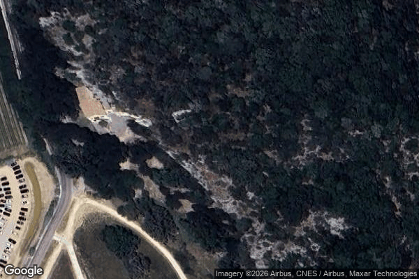
Chames, Vallon-Pont-d'Arc - Coordonnées GPS Urbex
Obtenez la coordonnée GPS exacte de ce lieu abandonné situé dans le département Ardèche (Auvergne-Rhône-Alpes, França). Spot urbex vérifié et géolocalisé.
The Pont d'Arc (French pont = bridge) is a large natural bridge, located in the Ardèche département in the south of France, 5 km from the town of Vallon-Pont-d'Arc. The arch, formed when the river Ardèche broke through a narrow escarpment between its meander, is 59 metres (194 ft) wide and 34 m (112 ft) high at the top of the opening. It is a very popular canoeing and kayaking area and is heavily visited by tourists.
0,90EUR
Paiement unique - accès à vie
Pagamento 100% seguro
AMEX
Google Pay
stripe
Conexão SSL criptografada · Sem armazenamento de dados bancários
Ce qui est inclus
- Coordonnée GPS exacte
- Photo satellite du spot
- Accès immédiat après achat