Mapa Urbex Les Mauduits, Meudon
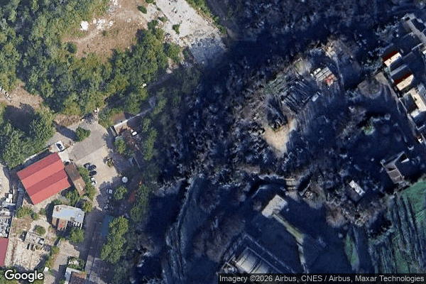
Les Mauduits, Meudon - Coordonnées GPS Urbex
Obtenez la coordonnée GPS exacte de ce lieu abandonné situé dans le département Hauts-de-Seine (Île-de-France, França). Spot urbex vérifié et géolocalisé.
The Meudon Viaduct, originally known as the Val-Fleury Viaduct and also called Hélène Bridge, is located in the town of Meudon in the Hauts-de-Seine department of France. Constructed as part of the railway line connecting Paris-Montparnasse to Versailles-Chantiers station, the viaduct spans the valley of the Ru d'Arthelon, separating the hills of Meudon from those of Clamart. One of its arches accommodates the Invalides–Versailles-Rive-Gauche line, which opened in this section in the early 1900s
Paiement unique - accès à vie
Pagamento 100% seguro
Conexão SSL criptografada · Sem armazenamento de dados bancários
Ce qui est inclus
- Coordonnée GPS exacte
- Photo satellite du spot
- Accès immédiat après achat