Paks
Mapa Urbex Tisztviselőtelep - Kohn telep, Paks
PaksTolnaHungria
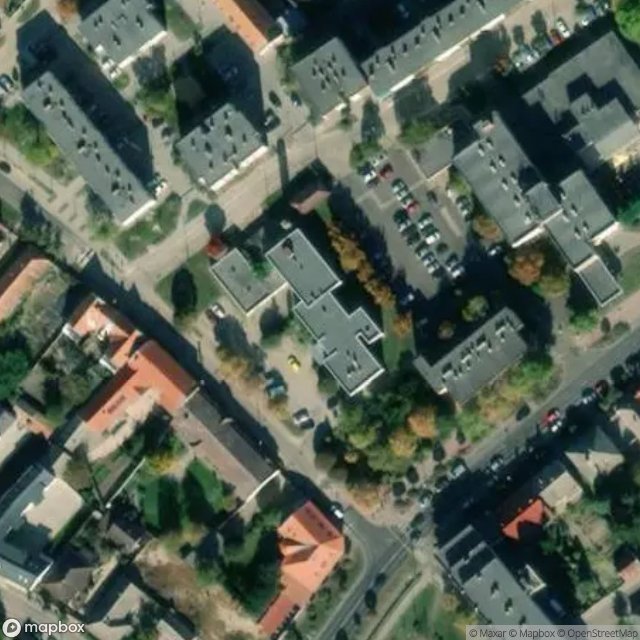
Tisztviselőtelep - Kohn telep, Paks - Coordonnées GPS Urbex
Obtenez la coordonnée GPS exacte de ce lieu abandonné situé dans le département Paks (Tolna, Hungria). Spot urbex vérifié et géolocalisé.
Paks is a small town in Tolna county, in the south of Hungary, on the right bank of the Danube River, 100 km south of Budapest. Paks as a former agricultural settlement is now the home of the only Hungarian nuclear power plant, which provides about 50% of the country's electricity consumption.
0,90EUR
Paiement unique - accès à vie
Pagamento 100% seguro
AMEX
Google Pay
stripe
Conexão SSL criptografada · Sem armazenamento de dados bancários
Ce qui est inclus
- Coordonnée GPS exacte
- Photo satellite du spot
- Accès immédiat après achat