Mapa Urbex Shadows Within the Coordinates
Atualizações vitalícias
Shadows Within the Coordinates - Coordonnées GPS Urbex
Obtenez la coordonnée GPS exacte de ce lieu abandonné situé dans le département Isafjarðarbær (Vestfirðir, Islândia). Spot urbex vérifié et géolocalisé.
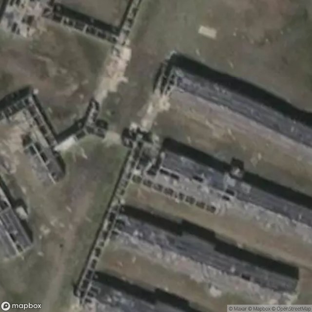
Latrar Air Station (ADC/NATO ID: H-4), also known as Straumnes Air Station, is a former United States Air Force General Surveillance Radar station built in 1953-1956, located at the top of Mount Straumnes and in the former village of Látrar in the bay of Aðalvík, on the sparsely inhabited Hornstrandir peninsula. The station was closed in 1960 and has since been left to the elements. The site was operated by the 934th Aircraft Control and Warning (later Air Defense, Later Air Control) Squadron,
Paiement unique - accès à vie
Pagamento 100% seguro
Conexão SSL criptografada · Sem armazenamento de dados bancários
Ce qui est inclus
- Coordonnée GPS exacte
- Photo satellite du spot
- Accès immédiat après achat