Carte Urbex Kuay Jab Uan Pochana, กรุงเทพมหานคร
Mises à jour régulières disponibles à vie
- Monastères
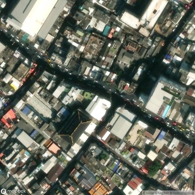
Kuay Jab Uan Pochana, กรุงเทพมหานคร - Coordonnées GPS Urbex
Obtenez la coordonnée GPS exacte de ce lieu abandonné situé dans le département Samphantawong (Bangkok Metropolis, Thaïlande). Spot urbex vérifié et géolocalisé.
Yaowarat Road (Thai: ถนนเยาวราช, romanized: Thanon Yaowarat, pronounced [tʰā.nǒn jāw.wā.râːt]; Chinese: 耀華力路) in Samphanthawong District is the main artery of Bangkok's Chinatown. Modern Chinatown now covers a large area around Yaowarat and Charoen Krung Road. It has been the main centre for trading by the Chinese community since they moved from their old site some 200 years ago to make way for the construction of Wat Phra Kaew, the Grand Palace.
Paiement unique - accès à vie
Paiement 100% sécurisé
Connexion chiffrée SSL · Aucune donnée bancaire stockée
Ce qui est inclus
- Coordonnée GPS exacte
- Photo satellite du spot
- Accès immédiat après achat