Wattana
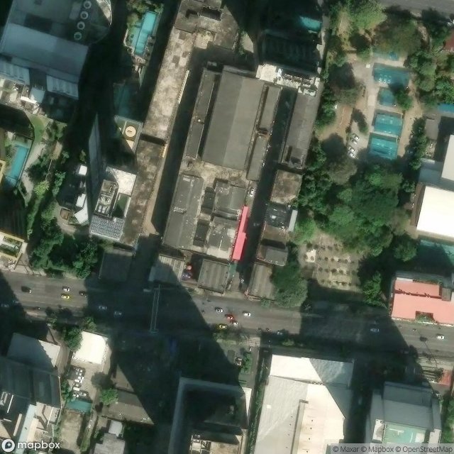
Carte Urbex ชุมชนโรงเจมักกะสัน, กรุงเทพมหานคร
WattanaBangkok MetropolisThaïlande
Mises à jour régulières disponibles à vie
ชุมชนโรงเจมักกะสัน, กรุงเทพมหานคร - Coordonnées GPS Urbex
Obtenez la coordonnée GPS exacte de ce lieu abandonné situé dans le département Wattana (Bangkok Metropolis, Thaïlande). Spot urbex vérifié et géolocalisé.
Phetchaburi Road (Thai: ถนนเพชรบุรี, pronounced [tʰā.nǒn pʰét.t͡ɕʰā.bū.rīː]) is a main road of Bangkok. It starts at Yommarat Intersection near Yommarat Railway Halt and Uruphong Intersection and ends at Khlong Tan Intersection, passing through four districts, Dusit, Ratchathewi, Huai Khwang, and Suan Luang. Its length is about 9 km (5.6 mi).
0,90EUR
Paiement unique - accès à vie
Paiement 100% sécurisé
AMEX
Google Pay
stripe
Connexion chiffrée SSL · Aucune donnée bancaire stockée
Ce qui est inclus
- Coordonnée GPS exacte
- Photo satellite du spot
- Accès immédiat après achat