Laem Sing
Carte Urbex พลิ้ว
Laem SingChanthaburiThaïlande
Mises à jour régulières disponibles à vie
พลิ้ว - Coordonnées GPS Urbex
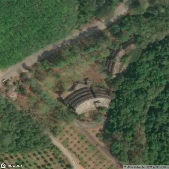
Obtenez la coordonnée GPS exacte de ce lieu abandonné situé dans le département Laem Sing (Chanthaburi, Thaïlande). Spot urbex vérifié et géolocalisé.
Namtok Phlio National Park (Thai: อุทยานแห่งชาติน้ำตกพลิ้ว) is a national park in Chanthaburi Province, Thailand. The park is home to forested mountains, waterfalls, and many stupas and chedis from the reign of King Rama V. The mountains here are also known as Khao Sa Bap, a mountainous fragment of the western ends of the much larger Cardamom Mountains. The Sa Bap mountains are heavily eroded karst, rising to no more than 673 metres.
0,90EUR
Paiement unique - accès à vie
Paiement 100% sécurisé
AMEX
Google Pay
stripe
Connexion chiffrée SSL · Aucune donnée bancaire stockée
Ce qui est inclus
- Coordonnée GPS exacte
- Photo satellite du spot
- Accès immédiat après achat