Sali
Carte Urbex Podgomiline, Silba
SaliZadarskaCroatie
Mises à jour régulières disponibles à vie
- Hôtels abandonnes
Podgomiline, Silba - Coordonnées GPS Urbex
Obtenez la coordonnée GPS exacte de ce lieu abandonné situé dans le département Sali (Zadarska, Croatie). Spot urbex vérifié et géolocalisé.
Silba (pronounced [sîlba]) is an island in Croatia with an area of 15 km2, northern Dalmatia, south-east of Lošinj, between the islands of Premuda and Olib. It has a Mediterranean climate with 2570 hours a year of sunshine. Most summer days are hot, bright and clear with light westerly maestral wind cooling the island in the afternoons.
0,90EUR
Paiement unique - accès à vie
Paiement 100% sécurisé
AMEX
Google Pay
stripe
Connexion chiffrée SSL · Aucune donnée bancaire stockée
Ce qui est inclus
- Coordonnée GPS exacte
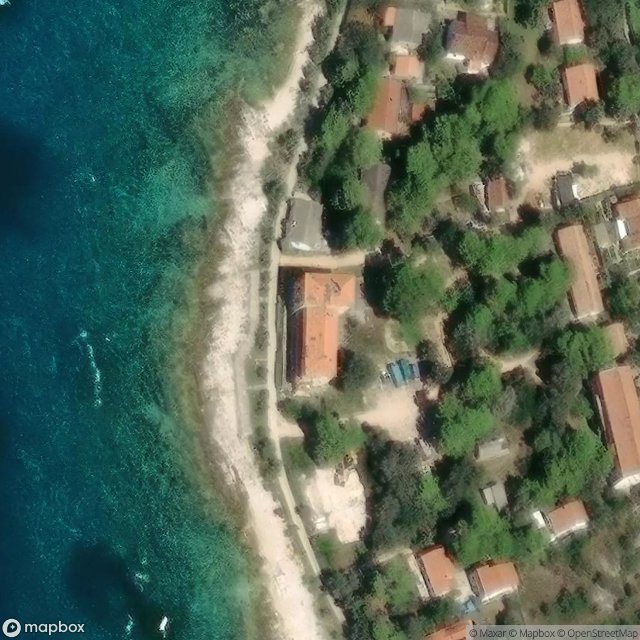
- Photo satellite du spot
- Accès immédiat après achat