Tachov
Carte Urbex Nový mlýn (zříc.)
TachovPlzenskyRépublique tchèque
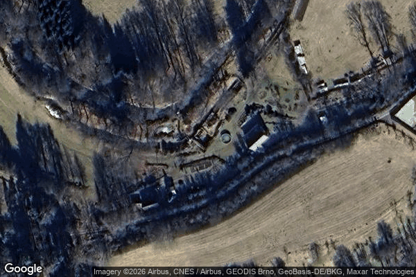
Nový mlýn (zříc.) - Coordonnées GPS Urbex
Obtenez la coordonnée GPS exacte de ce lieu abandonné situé dans le département Tachov (Plzensky, République tchèque). Spot urbex vérifié et géolocalisé.
The Hamerský potok (German: Hammerbach) is a stream in the Czech Republic and Germany, a left tributary of the Mže. It flows mostly through the Plzeň Region in the Czech Republic and briefly also through Bavaria in Germany. It is 33.8 km (21.0 mi) long.
0,90EUR
Paiement unique - accès à vie
Paiement 100% sécurisé
AMEX
Google Pay
stripe
Connexion chiffrée SSL · Aucune donnée bancaire stockée
Ce qui est inclus
- Coordonnée GPS exacte
- Photo satellite du spot
- Accès immédiat après achat