Carte Urbex Lueneburg
Mises à jour régulières disponibles à vie
Lueneburg - Coordonnées GPS Urbex
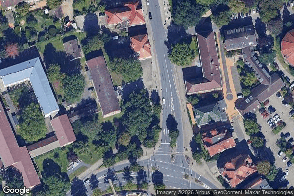
Obtenez la coordonnée GPS exacte de ce lieu abandonné situé dans le département Luneburg (Niedersachsen, Allemagne). Spot urbex vérifié et géolocalisé.
Lüneburg was one of the four Regierungsbezirke of Lower Saxony, Germany, located in the north of the federal state between the three cities Bremen, Hamburg and Hanover. The region was created under royal Hanoverian rule in 1823 as Landdrostei Lüneburg (roughly: High Bailiwick of Lüneburg), renamed Regierungsbezirk (roughly: governorate) in 1885, when it was a subdivision of the Prussian province of Hanover. On 1 February 1978 the Lüneburg Region incorporated the neighbouring Stade Region.
Paiement unique - accès à vie
Paiement 100% sécurisé
Connexion chiffrée SSL · Aucune donnée bancaire stockée
Ce qui est inclus
- Coordonnée GPS exacte
- Photo satellite du spot
- Accès immédiat après achat