Hamm
Carte Urbex Hochbunker, Hamm
HammNordrhein WestfalenAllemagne
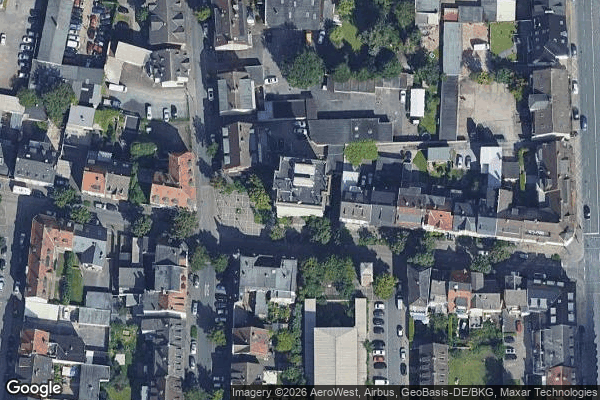
Hochbunker, Hamm - Coordonnées GPS Urbex
Obtenez la coordonnée GPS exacte de ce lieu abandonné situé dans le département Hamm (Nordrhein Westfalen, Allemagne). Spot urbex vérifié et géolocalisé.
The County of Mark (German: Grafschaft Mark, French: Comté de La Marck colloquially known as Die Mark) was a county and state of the Holy Roman Empire in the Lower Rhenish–Westphalian Circle. It lay south of Lippe river on both sides of the Ruhr river along the Volme and Lenne rivers. The Counts of Mark were among the most powerful and influential Westphalian lords in the Holy Roman Empire.
0,90EUR
Paiement unique - accès à vie
Paiement 100% sécurisé
AMEX
Google Pay
stripe
Connexion chiffrée SSL · Aucune donnée bancaire stockée
Ce qui est inclus
- Coordonnée GPS exacte
- Photo satellite du spot
- Accès immédiat après achat