Carte Urbex Neandertal, Erkrath
Mises à jour régulières disponibles à vie
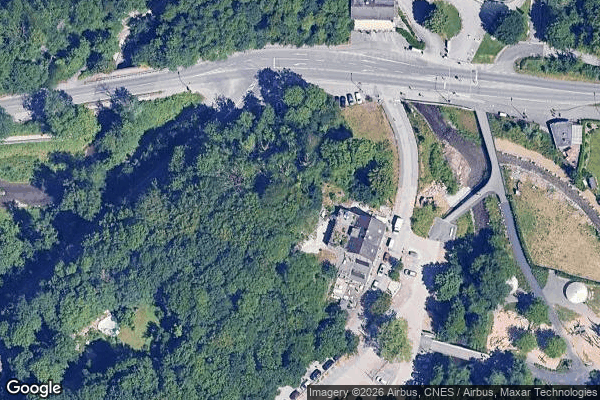
Neandertal, Erkrath - Coordonnées GPS Urbex
Obtenez la coordonnée GPS exacte de ce lieu abandonné situé dans le département Mettmann (Nordrhein Westfalen, Allemagne). Spot urbex vérifié et géolocalisé.
The Neandertal (, also US: , German: [neˈʔandɐtʰaːl]; sometimes called "the Neander Valley" in English) is a small valley of the river Düssel in the German state of North Rhine-Westphalia, located about 12 km (7.5 mi) east of Düsseldorf, the capital city of North Rhine-Westphalia. The valley lies within the limits of the towns of Erkrath and Mettmann. In August 1856, the area became famous for the discovery of Neanderthal 1, one of the first specimens of Homo neanderthalensis to be found.
Paiement unique - accès à vie
Paiement 100% sécurisé
Connexion chiffrée SSL · Aucune donnée bancaire stockée
Ce qui est inclus
- Coordonnée GPS exacte
- Photo satellite du spot
- Accès immédiat après achat