Carte Urbex Saarpfalz Kreis
34 lieux abandonnés à Saarpfalz Kreis

34
spots
Paiement unique - accès à vie
Paiement 100% sécurisé
Connexion chiffrée SSL · Aucune donnée bancaire stockée
Mises à jour régulières disponibles à vie
Thèmes présents dans ce pack
Tous les lieux abandonnés de Saarpfalz Kreis
34 coordonnées GPS vérifiées dans le département de Saarpfalz Kreis, Saarland, Allemagne.
Vous cherchez des lieux abandonnes a Saarpfalz Kreis, Saarland, Allemagne ? Urbex Maps propose 34 coordonnees GPS verifiees de batiments abandonnes dans cette zone, dont Ruines, Bunkers, Militaire, Moulins, Châteaux, Voies ferrées abandonnées.
34
spots verifies
GPS
Google Maps, Waze
septembre 2026
derniere mise a jour
Ou trouver des lieux abandonnes a Saarpfalz Kreis ?
Les lieux abandonnes a Saarpfalz Kreis se trouvent le mieux via la carte urbex interactive de Urbex Maps avec 34 coordonnees GPS verifiees. Les categories principales sont Ruines, Bunkers, Militaire, Moulins, Châteaux, Voies ferrées abandonnées.
Types de lieux abandonnes a Saarpfalz Kreis
Spots dans Saarpfalz Kreis
Allmendstraße, Niederwürzbach
Alte Schmelz, Sankt Ingbert
Am Feilbach, Bexbach

Am Gedünner, Homburg
Am Gleisbauhof, Kirkel

Am grauen Bannstein, Heckendalheim

Am grauen Bannstein, Heckendalheim
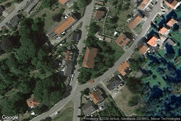
Artifact of the Transfer

B 423, Webenheim

Blücherstraße, Sankt Ingbert
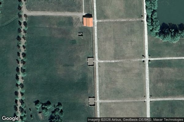
Friedrichstraße, Reinheim
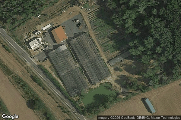
Gersheim
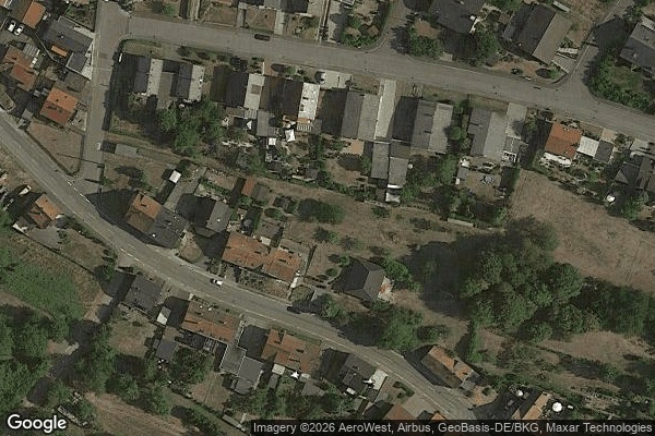
Heckendalheim

Heckendalheim
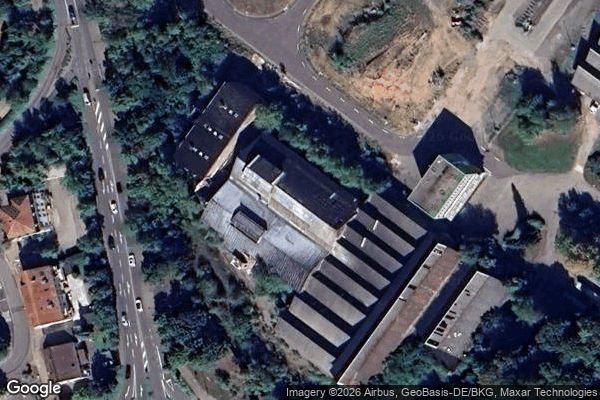
Homburg

Im Gräsertal, Limbach
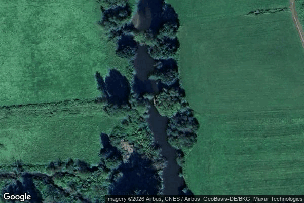
Industriering, Blieskastel

Kirkel

L 102, Riesweiler
Obere Kaiserstraße, Sankt Ingbert

Plotting The Silent Void

Reinheim

Sankt Ingbert

Sankt Ingbert

Sankt Ingbert
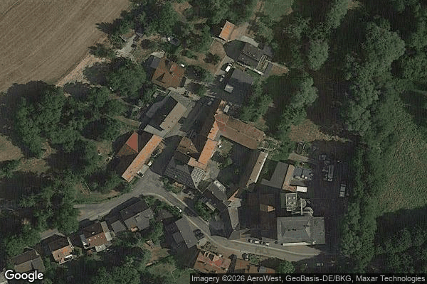
Sulgerhof
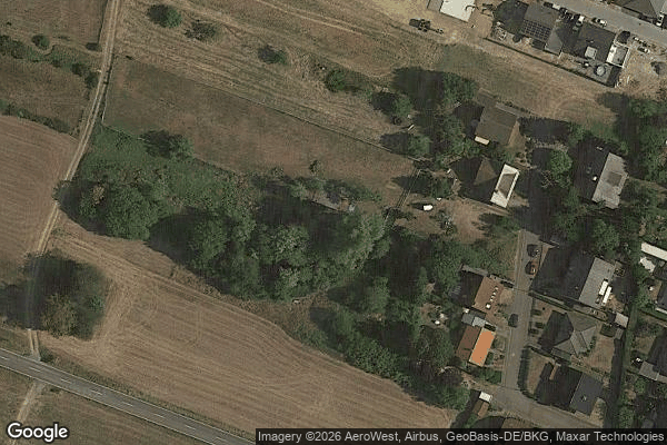
The Geometry of Shadows

Traced Beyond the Grid

Traced Beyond the Grid
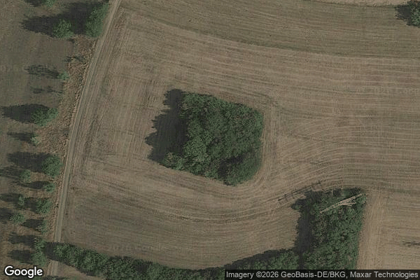
Traces in the Vector
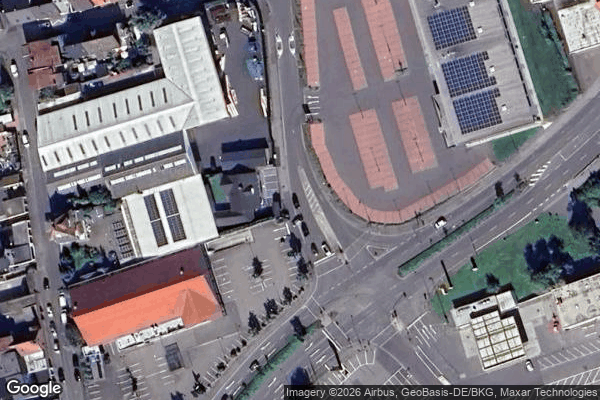
Traces of the Mesh
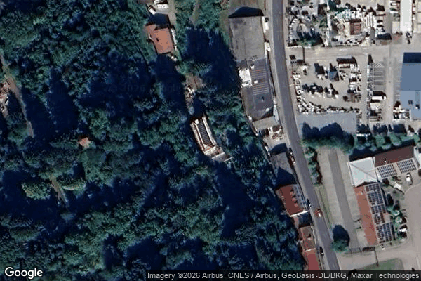
Vector of Residual Silence

ehemaliger Bahnhof Jägersburg, Jägersburg

ehm. Gassenmühle