Carte Urbex Brecher Abfahrt, Römhild
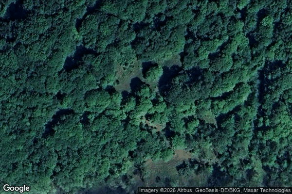
Brecher Abfahrt, Römhild - Coordonnées GPS Urbex
Obtenez la coordonnée GPS exacte de ce lieu abandonné situé dans le département Hildburghausen (Thuringen, Allemagne). Spot urbex vérifié et géolocalisé.
At 679 m above sea level (NHN), the Großer Gleichberg is the higher of the two adjacent mountaintops known as the Gleichberge east of Römhild in the landscape of Grabfeld and the county of Hildburghausen in the German state of Thuringia. It was formed in the Tertiary volcanic field of the Heldburger Gangschar and is the highest point today of that formation. With an isolation of well over 20 kilometres and a prominence of just under 300 metres, the Großer Gleichberg is one of the most striking
Paiement unique - accès à vie
Paiement 100% sécurisé
Connexion chiffrée SSL · Aucune donnée bancaire stockée
Ce qui est inclus
- Coordonnée GPS exacte
- Photo satellite du spot
- Accès immédiat après achat