Velsen
Carte Urbex Linie, Velserbroek
VelsenNoord HollandPays-Bas
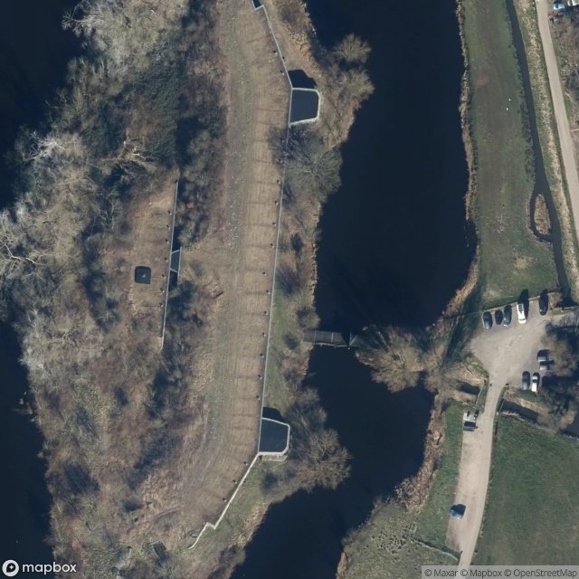
Linie, Velserbroek - Coordonnées GPS Urbex
Obtenez la coordonnée GPS exacte de ce lieu abandonné situé dans le département Velsen (Noord Holland, Pays-Bas). Spot urbex vérifié et géolocalisé.
Fort benoorden Spaarndam (forts)
0,90EUR
Paiement unique - accès à vie
Paiement 100% sécurisé
AMEX
Google Pay
stripe
Connexion chiffrée SSL · Aucune donnée bancaire stockée
Ce qui est inclus
- Coordonnée GPS exacte
- Photo satellite du spot
- Accès immédiat après achat
Ce lieu apparaît dans ces articles

Ce que nos articles disent de ce lieu
What makes this fort unique was discovered by volunteers around the year 2000: beneath the whitewash lay more than 230 wall paintings and drawings , made by Dutch and German soldiers during both world wars, with portraits, cartoons and texts. The roof was repaired in the 2010s to protect the interior, but otherwise …Lire l'article : Urbex Amsterdam : 6 lieux abandonnés →