Carte Urbex Fonteynenburghlaan, Voorburg
Mises à jour régulières disponibles à vie
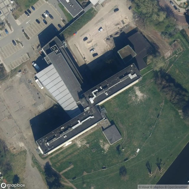
Fonteynenburghlaan, Voorburg - Coordonnées GPS Urbex
Obtenez la coordonnée GPS exacte de ce lieu abandonné situé dans le département Leidschendam Voorburg (Zuid Holland, Pays-Bas). Spot urbex vérifié et géolocalisé.
Forum Hadriani, in the modern town of Voorburg, was the northernmost Roman city on the European continent and the second oldest city of the Netherlands. It was located in the Roman province Germania Inferior and is mentioned on the Tabula Peutingeriana, a Roman road map. Established probably between 69-70, soon after or during the Batavian Revolt, and initially called Municipium Cananefatium (Town of the Cananefates), the site Forum Hadriani formed the nucleus of the civitas of the Cananefates,
Paiement unique - accès à vie
Paiement 100% sécurisé
Connexion chiffrée SSL · Aucune donnée bancaire stockée
Ce qui est inclus
- Coordonnée GPS exacte
- Photo satellite du spot
- Accès immédiat après achat