Sisli
Carte Urbex Kağıthane Devlet Hastanesi
SisliIstanbulTurquie
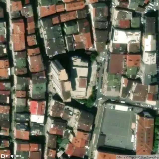
Kağıthane Devlet Hastanesi - Coordonnées GPS Urbex
Obtenez la coordonnée GPS exacte de ce lieu abandonné situé dans le département Sisli (Istanbul, Turquie). Spot urbex vérifié et géolocalisé.
Sanayi is an underground rapid transit station on the M2 line of the Istanbul Metro. It is located under Büyükdere Avenue between Levent and Maslak, Istanbul's two main financial districts. The station was opened on 31 January 2009 as part of the northern extension to Atatürk Oto Sanayi and has two island platforms serviced by three tracks.
0,90EUR
Paiement unique - accès à vie
Paiement 100% sécurisé
AMEX
Google Pay
stripe
Connexion chiffrée SSL · Aucune donnée bancaire stockée
Ce qui est inclus
- Coordonnée GPS exacte
- Photo satellite du spot
- Accès immédiat après achat