Manchester
Carte Urbex Traces of the Rendered Void
ManchesterEnglandRoyaume-Uni
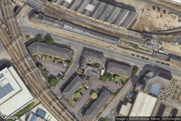
Traces of the Rendered Void - Coordonnées GPS Urbex
Obtenez la coordonnée GPS exacte de ce lieu abandonné situé dans le département Manchester (England, Royaume-Uni). Spot urbex vérifié et géolocalisé.
The 1830 warehouse, Liverpool Road, Manchester, England, is a 19th-century warehouse that forms part of the Liverpool Road railway station complex. It was built in five months between April and September 1830, "almost certainly [to the designs of] the Liverpool architect Thomas Haigh". The heritage listing report attributes the work to George Stephenson and his son, Robert.
0,90EUR
Paiement unique - accès à vie
Paiement 100% sécurisé
AMEX
Google Pay
stripe
Connexion chiffrée SSL · Aucune donnée bancaire stockée
Ce qui est inclus
- Coordonnée GPS exacte
- Photo satellite du spot
- Accès immédiat après achat