Oxfordshire
Carte Urbex Randolph Street Mews
OxfordshireEnglandRoyaume-Uni
Mises à jour régulières disponibles à vie
Randolph Street Mews - Coordonnées GPS Urbex
Obtenez la coordonnée GPS exacte de ce lieu abandonné situé dans le département Oxfordshire (England, Royaume-Uni). Spot urbex vérifié et géolocalisé.
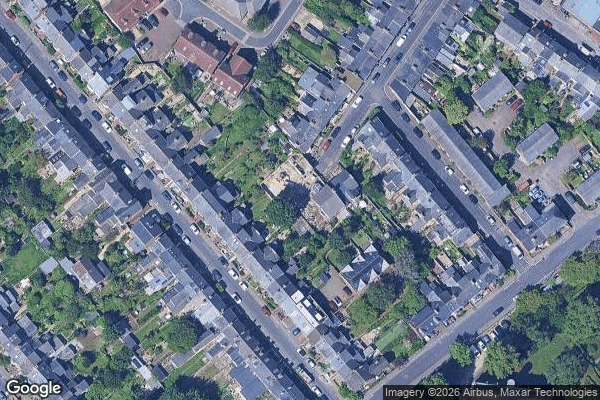
The Friary, formally known as Blessed Agnellus of Pisa Friary, formerly All Saints Convent or St John's Home is a centre of formation for the Franciscan Order of Friars Minor Conventual in Cowley, Oxford, England. The building was constructed in 1873 as the convent of the Anglican Society of All Saints Sisters of the Poor. It is situated between St Mary's Road and Cowley Road, next to St John's Care Home and Helen & Douglas House.
0,90EUR
Paiement unique - accès à vie
Paiement 100% sécurisé
AMEX
Google Pay
stripe
Connexion chiffrée SSL · Aucune donnée bancaire stockée
Ce qui est inclus
- Coordonnée GPS exacte
- Photo satellite du spot
- Accès immédiat après achat