Carte Urbex Treeton
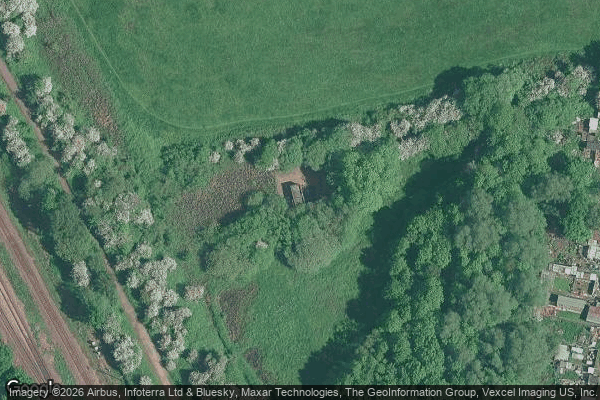
Treeton - Coordonnées GPS Urbex
Obtenez la coordonnée GPS exacte de ce lieu abandonné situé dans le département Rotherham (England, Royaume-Uni). Spot urbex vérifié et géolocalisé.
Woodhouse Mill railway station was opened in 1840 by the North Midland Railway on its line between Rotherham Masborough and Chesterfield. It was situated to the south of the main A57 road shortly after this left the City of Sheffield and served Woodhouse Mill, near Sheffield, Orgreave, Fence and (Aston cum Aughton), all within Rotherham, South Yorkshire. It may initially have been simply a halt, but the Midland Railway installed an island platform with a timber and brick booking office at its ce
Paiement unique - accès à vie
Paiement 100% sécurisé
Connexion chiffrée SSL · Aucune donnée bancaire stockée
Ce qui est inclus
- Coordonnée GPS exacte
- Photo satellite du spot
- Accès immédiat après achat