Shropshire
Carte Urbex Rosalind House
ShropshireEnglandRoyaume-Uni
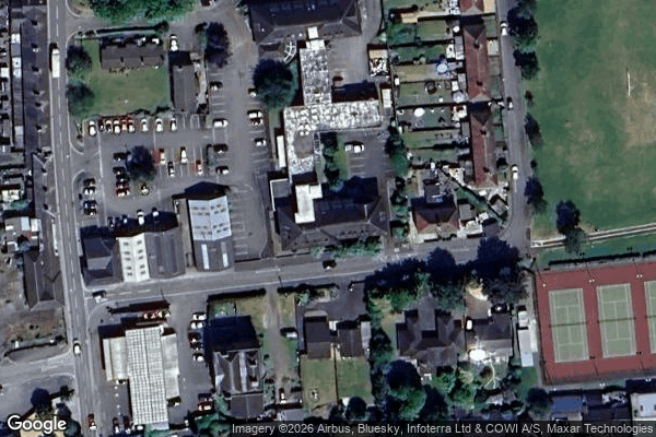
Rosalind House - Coordonnées GPS Urbex
Obtenez la coordonnée GPS exacte de ce lieu abandonné situé dans le département Shropshire (England, Royaume-Uni). Spot urbex vérifié et géolocalisé.
North Shropshire was a rural district in Shropshire, England from 1967 to 1974. It was formed in 1967 by a merger of most of the Ellesmere Rural District, Wem Rural District, along with the urban districts of Ellesmere, Wem and Whitchurch, and part of Whittington from Oswestry Rural District. The district survived until 1974 when it was abolished under the Local Government Act 1972 to form part of a new, larger North Shropshire district.
0,90EUR
Paiement unique - accès à vie
Paiement 100% sécurisé
AMEX
Google Pay
stripe
Connexion chiffrée SSL · Aucune donnée bancaire stockée
Ce qui est inclus
- Coordonnée GPS exacte
- Photo satellite du spot
- Accès immédiat après achat