Somerset
Carte Urbex North Petherton
SomersetEnglandRoyaume-Uni
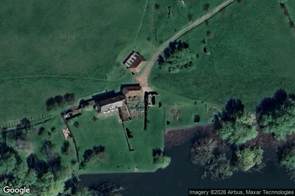
North Petherton - Coordonnées GPS Urbex
Obtenez la coordonnée GPS exacte de ce lieu abandonné situé dans le département Somerset (England, Royaume-Uni). Spot urbex vérifié et géolocalisé.
Durleigh reservoir at Durleigh in Somerset, England covers 80 acres (32 ha) and was formed in 1938 when Durleigh brook, a tributary of the River Parrett, was dammed. The reservoir's original purpose was to provide water for the newly built British Cellophane Factory in Bridgwater. It is used for coarse fishing, particularly carp, roach, bream, perch, tench and pike.
0,90EUR
Paiement unique - accès à vie
Paiement 100% sécurisé
AMEX
Google Pay
stripe
Connexion chiffrée SSL · Aucune donnée bancaire stockée
Ce qui est inclus
- Coordonnée GPS exacte
- Photo satellite du spot
- Accès immédiat après achat