Carte Urbex Cefn Rhigos, Rhigos
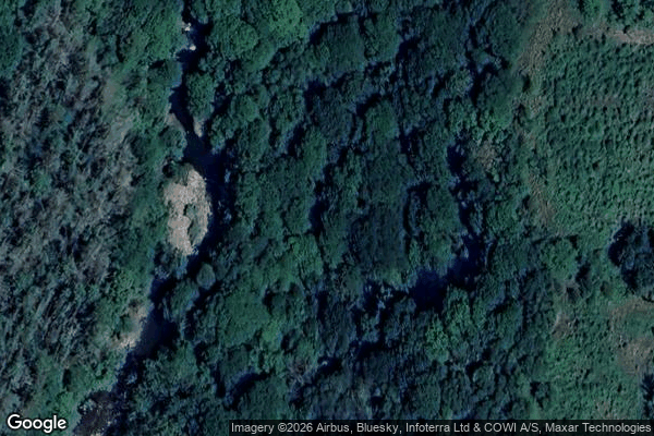
Cefn Rhigos, Rhigos - Coordonnées GPS Urbex
Obtenez la coordonnée GPS exacte de ce lieu abandonné situé dans le département Rhondda Cynon Taf (Wales, Royaume-Uni). Spot urbex vérifié et géolocalisé.
Dyffrynnoedd Nedd a Mellte, a Moel Penderyn (grid reference SN921090) is a 421.1 hectare biological and geological Site of Special Scientific Interest on the border of Neath Port Talbot and Powys, Wales, notified in 1954. The name of the site means "The valleys of Nedd and Mellte and Moel Penderyn". This site includes the wooded valleys of the rivers Nedd and Mellte and their tributaries above Pontneddfechan as they pass through a millstone grit and limestone plateau, and the hill of Moel Pender
Paiement unique - accès à vie
Paiement 100% sécurisé
Connexion chiffrée SSL · Aucune donnée bancaire stockée
Ce qui est inclus
- Coordonnée GPS exacte
- Photo satellite du spot
- Accès immédiat après achat