Carte Urbex Estate Brewers Bay
Mises à jour régulières disponibles à vie
Estate Brewers Bay - Coordonnées GPS Urbex
Obtenez la coordonnée GPS exacte de ce lieu abandonné situé dans le département Northside (Vi, États-Unis). Spot urbex vérifié et géolocalisé.
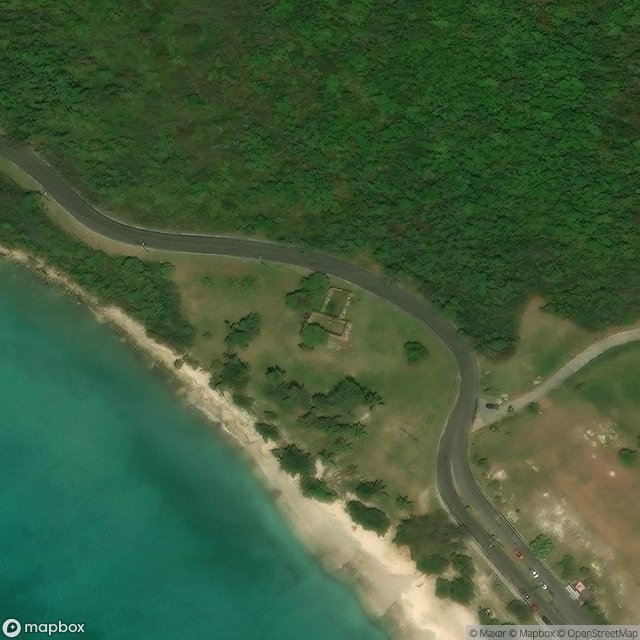
The Estate Brewers Bay, located near the University of the Virgin Islands and John Brewers Bay Beach about 2 miles (3.2 km) west of Charlotte Amalie on Saint Thomas, U.S. Virgin Islands, is a historic sugar plantation which was listed on the National Register of Historic Places in 1978. Surviving on the site, at least as of 1977, are the ruins of a sugar factory, later adapted as a residence, and of an animal-powered mill. The first records of ownership are in 1855; it appeared on a map in 1856
Paiement unique - accès à vie
Paiement 100% sécurisé
Connexion chiffrée SSL · Aucune donnée bancaire stockée
Ce qui est inclus
- Coordonnée GPS exacte
- Photo satellite du spot
- Accès immédiat après achat