Barnstable
Carte Urbex Seacliff Way, Truro
BarnstableMassachusettsÉtats-Unis
Mises à jour régulières disponibles à vie
Seacliff Way, Truro - Coordonnées GPS Urbex
Obtenez la coordonnée GPS exacte de ce lieu abandonné situé dans le département Barnstable (Massachusetts, États-Unis). Spot urbex vérifié et géolocalisé.
The Jenny Lind Tower is a stone tower located in North Truro, Massachusetts. It is named after the 19th-century opera singer Jenny Lind, who is rumored to have climbed the tower when it was located in Boston to prevent a riot among people who were unable to attend her concert. It is located roughly between the Highland Light lighthouse and North Truro Air Force Station.
0,90EUR
Paiement unique - accès à vie
Paiement 100% sécurisé
AMEX
Google Pay
stripe
Connexion chiffrée SSL · Aucune donnée bancaire stockée
Ce qui est inclus
- Coordonnée GPS exacte
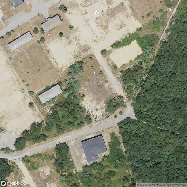
- Photo satellite du spot
- Accès immédiat après achat