Murillo
Carte Urbex Nazareno, La Paz
MurilloLa PazBolivie
Mises à jour régulières disponibles à vie
Nazareno, La Paz - Coordonnées GPS Urbex
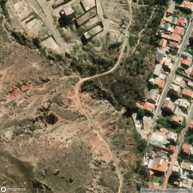
Obtenez la coordonnée GPS exacte de ce lieu abandonné situé dans le département Murillo (La Paz, Bolivie). Spot urbex vérifié et géolocalisé.
The Choqueyapu River, sometimes called the La Paz River, is a river in the La Paz Department of Bolivia. It belongs to the drainage basin of the Amazon. The river originates in a spring called Achachi Qala (Aymara: achachi border stone, old, grandfather, qala stone) in the Cordillera Real near the mountain Chacaltaya at a height of 5,395 m.
0,90EUR
Paiement unique - accès à vie
Paiement 100% sécurisé
AMEX
Google Pay
stripe
Connexion chiffrée SSL · Aucune donnée bancaire stockée
Ce qui est inclus
- Coordonnée GPS exacte
- Photo satellite du spot
- Accès immédiat après achat