Carte Urbex Murau
21 lieux abandonnés à Murau

21
spots
Paiement unique - accès à vie
Paiement 100% sécurisé
Connexion chiffrée SSL · Aucune donnée bancaire stockée
Mises à jour régulières disponibles à vie
Thèmes présents dans ce pack
- Ruines
Tous les lieux abandonnés de Murau
21 coordonnées GPS vérifiées dans le département de Murau, Steiermark, Autriche.
Vous cherchez des lieux abandonnes a Murau, Steiermark, Autriche ? Urbex Maps propose 21 coordonnees GPS verifiees de batiments abandonnes dans cette zone, dont Ruines.
21
spots verifies
GPS
Google Maps, Waze
juillet 2026
derniere mise a jour
Ou trouver des lieux abandonnes a Murau ?
Les lieux abandonnes a Murau se trouvent le mieux via la carte urbex interactive de Urbex Maps avec 21 coordonnees GPS verifiees. Les categories principales sont Ruines.
Types de lieux abandonnes a Murau
- Ruines
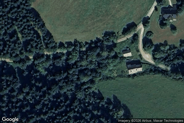
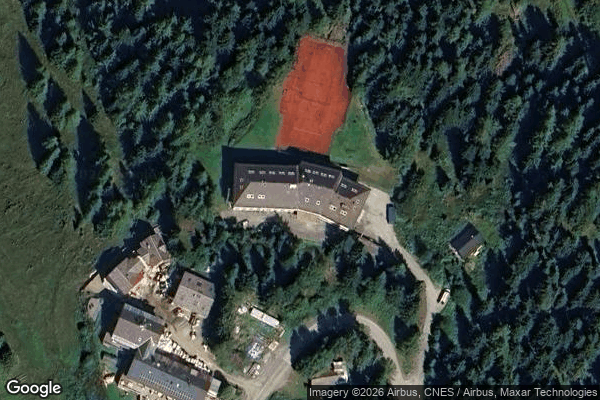
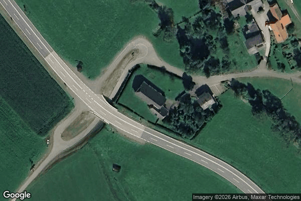
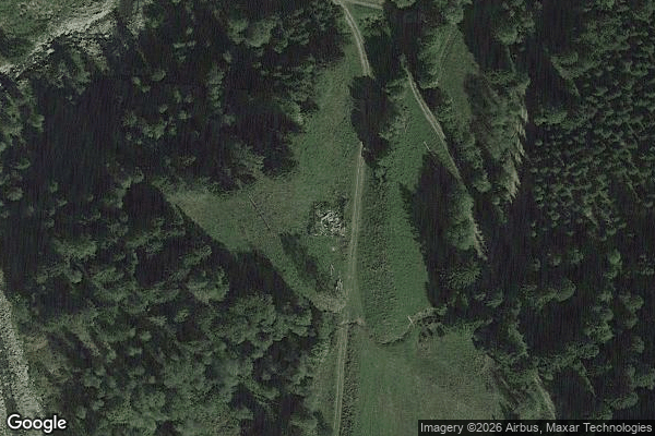
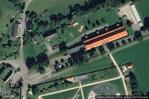
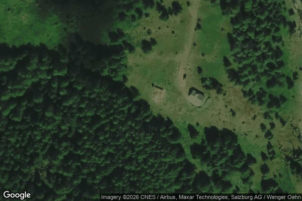
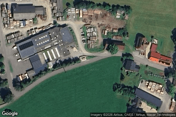
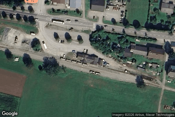
Spots dans Murau

B317, Sankt Lorenzen bei Scheifling

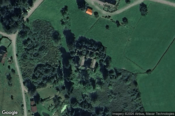
Benediktinerstift St. Lambrecht, Sankt Lambrecht
Burgruine Katsch, Katsch an der Mur
Echoes of the Red Harvest
Einach, Stadl-Predlitz
Fasserweg, Sankt Lorenzen bei Scheifling
Hochofen, Neumarkt in der Steiermark
Murau
Puchfeld, Scheifling

Schlossruine Schrattenberg, Sankt Lorenzen bei Scheifling
Schöttl, Salchau

Schützenhof, Sankt Marein bei Neumarkt
Spitalberg, Sankt Lambrecht

Steinschloßweg, Neumarkt in der Steiermark
The Geometry of Silence
The Latent Coordinate
The Phantom Data Point
The Unlinked Coordinate

Thomabauerhütte, Sankt Georgen am Kreischberg
Vertices of the Silent Grid

Winklern bei Oberwolz