Lenart
Carte Urbex Črmljenšak
LenartPodravskaSlovénie
Mises à jour régulières disponibles à vie
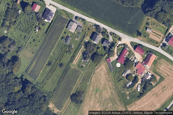
Črmljenšak - Coordonnées GPS Urbex
Obtenez la coordonnée GPS exacte de ce lieu abandonné situé dans le département Lenart (Podravska, Slovénie). Spot urbex vérifié et géolocalisé.
Črmljenšak (pronounced [tʃəɾˈmleːnʃak], in older sources Čermlenšak, German: Tschermlenscheg) is a settlement in the Slovene Hills (Slovene: Slovenske gorice) in the Municipality of Lenart in northeastern Slovenia. The area is part of the traditional region of Styria. It is now included in the Drava Statistical Region.
0,90EUR
Paiement unique - accès à vie
Paiement 100% sécurisé
AMEX
Google Pay
stripe
Connexion chiffrée SSL · Aucune donnée bancaire stockée
Ce qui est inclus
- Coordonnée GPS exacte
- Photo satellite du spot
- Accès immédiat après achat