Urbex Map Buckinghamshire
22 abandoned places in Buckinghamshire

22
spots
One-time payment - lifetime access
100% Secure Checkout
SSL encrypted · No banking data stored
Regular lifetime updates
Themes included in this pack
- Abandoned factories
- Castles
- Churches
- Abandoned houses
- Abandoned hotels
All abandoned places in Buckinghamshire
22 verified GPS coordinates in the department of Buckinghamshire, England, United Kingdom.
Looking for abandoned places in Buckinghamshire, England, United Kingdom? Urbex Maps offers 22 verified GPS coordinates of abandoned buildings in this area, including Abandoned factories, Castles, Churches, Abandoned houses, Abandoned hotels.
22
verified spots
GPS
Google Maps, Waze
July 2026
last update
Where to find abandoned places in Buckinghamshire?
The best way to find abandoned places in Buckinghamshire is through the interactive urbex map on Urbex Maps with 22 verified GPS coordinates. Top categories are Abandoned factories, Castles, Churches, Abandoned houses, Abandoned hotels.
Types of abandoned places in Buckinghamshire
- Abandoned factories
- Castles
- Churches
- Abandoned houses
- Abandoned hotels
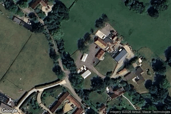
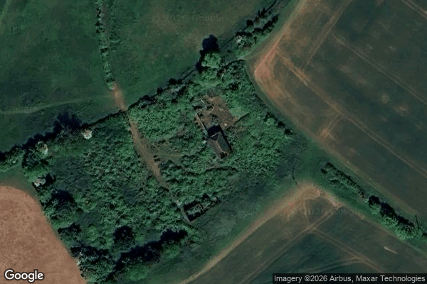
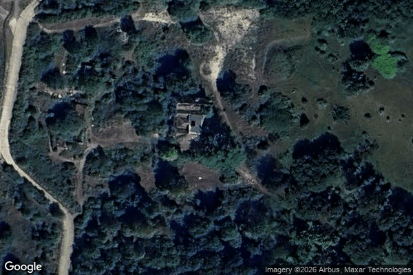
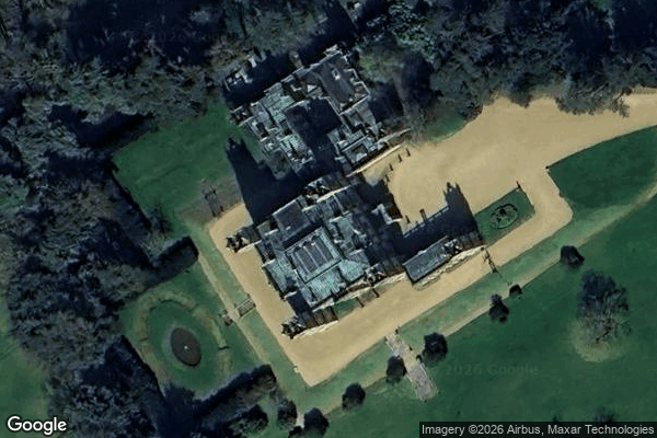
Spots in Buckinghamshire

Abandoned chair factory
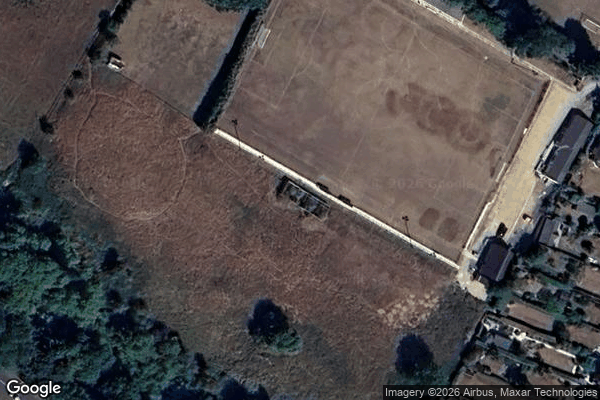
Amersham

Amersham Road, Chesham Bois
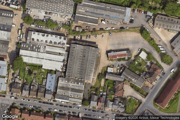
Broken down factory
Chinnor

Dead Spot - The King of My Castle

Douglas Road
Haddenham

London Road, High Wycombe
Lower Ascott, Wing

Shadows on the Grid

Silverstone

St Peter's Chapel
Steeple Claydon
Stoke Common Road, Fulmer

Stone

The Kings Hotel
Traces of a Mapped Void

Vertices of the Silence
WW2 Searchlight (control)
Westonmead Farm, Weston Turville
Wycombe Ski Centre
Urbex FAQ for Buckinghamshire, United Kingdom
Is urban exploration legal in Buckinghamshire, United Kingdom?+
What types of abandoned places can I find in Buckinghamshire, United Kingdom?+
How do I use the GPS coordinates I've purchased?+
How many abandoned places are listed in Buckinghamshire, United Kingdom?+
What's the best season for exploring in Buckinghamshire, United Kingdom?+
What our articles say about these places
Halabi planned to turn it into a six-star hotel, but the project never happened and he went bankrupt in 2010. The house has been empty and decaying ever since, used only occasionally for filming. Historic England lists it as Heritage at Risk in "very bad" condition, Priority A, meaning immediate risk of further rapi…Read the article : Abandoned Places in the UK: Top 10 Urbex →
