Buckinghamshire
Urbex Map Steeple Claydon
BuckinghamshireEnglandUnited Kingdom
Regular lifetime updates
Steeple Claydon - Coordonnées GPS Urbex
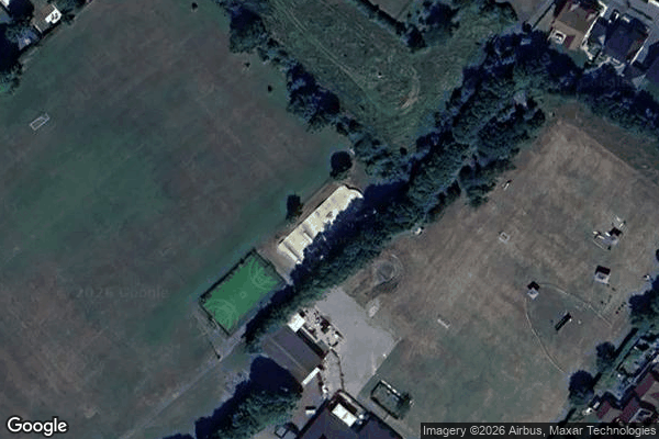
Obtenez la coordonnée GPS exacte de ce lieu abandonné situé dans le département Buckinghamshire (England, United Kingdom). Spot urbex vérifié et géolocalisé.
Steeple Claydon is a village and civil parish in the Buckinghamshire district of the ceremonial county of Buckinghamshire, England. The village is about 4 miles (6.4 km) south of Buckingham, 4.5 miles (7 km) west of Winslow and 7 miles (11 km) northwest of Waddesdon. The 2011 Census recorded the parish population as 2,278.
0,90EUR
Paiement unique - accès à vie
100% Secure Checkout
AMEX
Google Pay
stripe
SSL encrypted · No banking data stored
Ce qui est inclus
- Coordonnée GPS exacte
- Photo satellite du spot
- Accès immédiat après achat