Carte Urbex Blue Mountains
15 lieux abandonnés à Blue Mountains

15
spots
Paiement unique - accès à vie
Paiement 100% sécurisé
Connexion chiffrée SSL · Aucune donnée bancaire stockée
Mises à jour régulières disponibles à vie
Tous les lieux abandonnés de Blue Mountains
15 coordonnées GPS vérifiées dans le département de Blue Mountains, New South Wales, Australie.
Vous cherchez des lieux abandonnes a Blue Mountains, New South Wales, Australie ? Urbex Maps propose 15 coordonnees GPS verifiees de batiments abandonnes dans cette zone, dont .
15
spots verifies
GPS
Google Maps, Waze
juillet 2026
derniere mise a jour
Ou trouver des lieux abandonnes a Blue Mountains ?
Les lieux abandonnes a Blue Mountains se trouvent le mieux via la carte urbex interactive de Urbex Maps avec 15 coordonnees GPS verifiees. Les categories principales sont .
Spots dans Blue Mountains

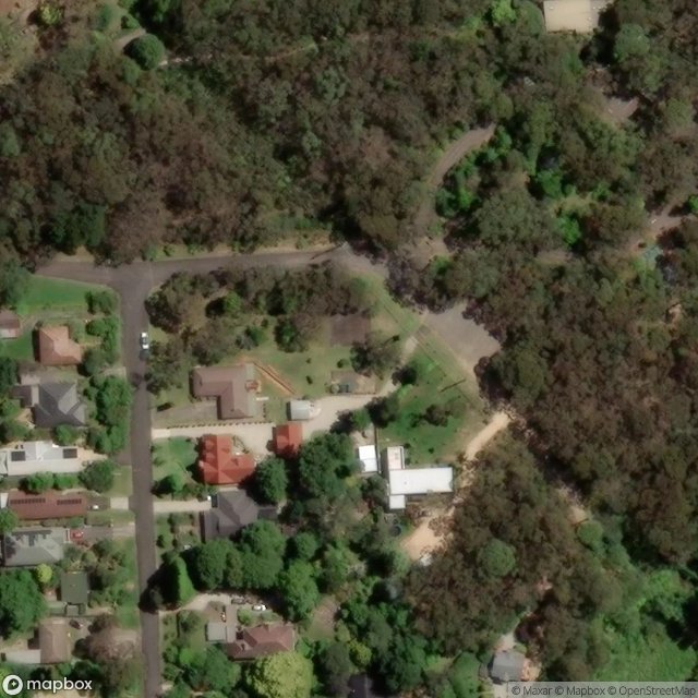
Bursill Lane, Sydney
Cleopatra Street, Blackheath
Eurama, Sydney

Former Ritz Nursing Home, Leura

Freelander Avenue, Sydney

Glenraphael Drive, Sydney

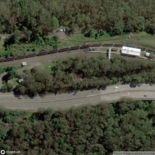
Great Western Highway, Blackheath
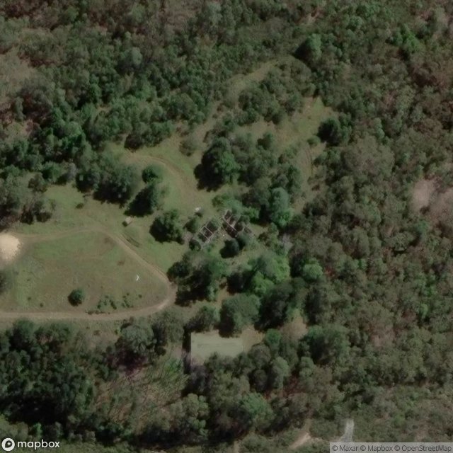
Hazelbrook

Mount St Marys College and Convent, Sydney

Pritchard Street, Sydney

Sinclair Crescent, Sydney

Station Street, Blackheath

Waratah Street, Sydney

Werama, Sydney

Wilson Street, Sydney