Urbex Map Tamworth Regional
10 abandoned places in Tamworth Regional

10
spots
One-time payment - lifetime access
100% Secure Checkout
SSL encrypted · No banking data stored
Regular lifetime updates
All abandoned places in Tamworth Regional
10 verified GPS coordinates in the department of Tamworth Regional, New South Wales, Australia.
Looking for abandoned places in Tamworth Regional, New South Wales, Australia? Urbex Maps offers 10 verified GPS coordinates of abandoned buildings in this area, including .
10
verified spots
GPS
Google Maps, Waze
July 2026
last update
Where to find abandoned places in Tamworth Regional?
The best way to find abandoned places in Tamworth Regional is through the interactive urbex map on Urbex Maps with 10 verified GPS coordinates. Top categories are .
Spots in Tamworth Regional
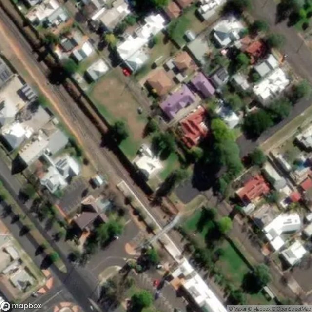
Griffin Avenue, Tamworth

Gunnedah Road, Tamworth

Gunnedah Road, Tamworth

Kable Avenue, Tamworth

Lydia Street, Tamworth

The Geometry of Silence

The Latent Geometry Trace
Traces of Forgotten Geometry

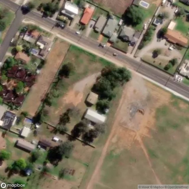
Warral Road, Tamworth

Woodsreef Road, Tamworth Regional Council