Tamworth Regional
Urbex Map Traces of Forgotten Geometry
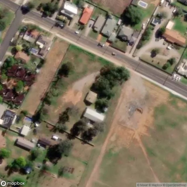
Tamworth RegionalNew South WalesAustralia
Regular lifetime updates
Traces of Forgotten Geometry - Coordonnées GPS Urbex
Obtenez la coordonnée GPS exacte de ce lieu abandonné situé dans le département Tamworth Regional (New South Wales, Australia). Spot urbex vérifié et géolocalisé.
Calala is a suburb of the Northern New South Wales city of Tamworth, administered by Tamworth Regional Council. In the 2016 census, Calala had a population of 3,927. The suburb is 4.5 km southeast of the CBD of Tamworth and is connected to the city by Calala Lane, which continues through the suburb to form its main street.
0,90EUR
Paiement unique - accès à vie
100% Secure Checkout
AMEX
Google Pay
stripe
SSL encrypted · No banking data stored
Ce qui est inclus
- Coordonnée GPS exacte
- Photo satellite du spot
- Accès immédiat après achat